Lincoln Highway at the Top
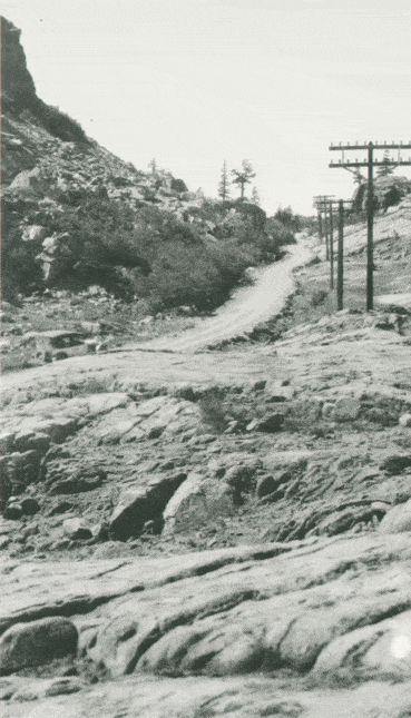
Here is the Lincoln Highway just below Donner Summit in California. This view is just below the Pacific Crest Trailhead. Donner Peak is the rise to the left. The "Then" view is about 1915 - note the car in the lower left. The "Now" view is 2011. You can still walk this route. (download a PDF brochure of the route with a map).
Photo location 39° 18.921'N 120° 19.386'W.